DECISION SUPPORT SYSTEM
GeoManager
Create maps with thematic units based on your own data and points of interest, and analyse ‘what if’ scenarios and possible development opportunities with geospatial parametres.
Create maps with thematic units based on your own data and points of interest, and analyse ‘what if’ scenarios and possible development opportunities with geospatial parametres.

")
Leverage the data banks
Determine the effectiveness of your current customer service network and discover any service gap. Utilise GeoManager to leverage existing opportunities to optimise your services. Check the area commercial density and the performance of your stores and decide which ones are in your best interest to upgrade or even close down. Monitor the activities of your existing or potential customers and receive reports on your competitors strategic moves in each area of interest.
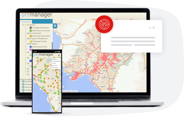
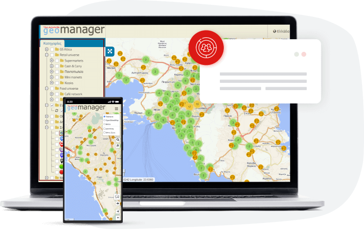
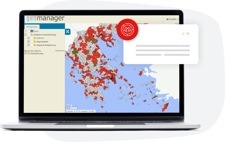
Enter your data with ease and visualise multiple levels of information by category, in an interactive table or on a digital map. Enter your own data by type and category and choose to display the categories you want each time with just one click. Generate a framework for continuous updates on the developments in each region with multi-levelled and detailed analysis of your regions of interest based on their characteristics. Choose the view that works for you, either in an interactive table or on a digital map.
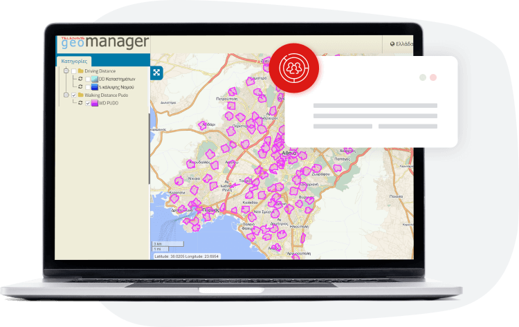
Gather all your data into a single digital file and classify them per categories and subcategories. Categorise and organise your information by administrative or thematic unit and create action areas based on their mileage. Get automatic geographic equalization based on service points, but also competition action points. Benefit from the creation of highly concentrated area polygons of “marketability” interest criteria and manage your services efficiently.
Create thematic maps with multi-levelled data, get the ones you want each time with just one click and analyse the visualized case you are interested in on an interactive map or table. Keep all the necessary information available in your organization, share processing authorisation with your partners and make strategic decisions for your business growth.
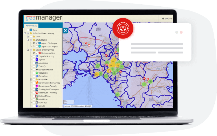
Select the data you need from constantly-up-to-date repositories and generate visualised hypotheses. Assess demographic data by region, combination of information levels with networks –such as municipal real estate, risk maps, etc., official documents (Government Gazette – Implementing Acts – Municipal Decisions, etc.), competition data, customer data (where your customers are active), points of public institutions (hospitals, community clinics, school units) and many other options of private and public networks.
Gather all your data in a single digital file, get the categories you need to process by administrative or thematic section and distribute them by zip code, municipality, prefecture or region. Otherwise you can create specific area polygons depending on the analysis criteria to facilitate your decisions. Get automatic geographic equalization and manage your activities accordingly.
OUR NUMBERS SHOW WE DRIVE YOUR SUCCESS
The new, digital era transforms all the industry settings. Scale up your business with our cost-effective technological solutions and reduce time consuming operations. It’s time to sky-rocket your profitability.
We put an end to overlapping itineraries.
Our applications calculate with accuracy how much you should load your vehicles to reach their maximum capacity.
We promise an exemplary customer experience.
What we promise in terms of ROI will definitely, positively surprise you.
Contact us and get 30 days free use of the modern applications, Web NavFleet & Workforce Manager, along with professional support from our team of experts.
in real numbers with Telenavis’ pioneering technological solutions
Easy data entry on a digital interactive map, with multiple levels of information per category. Create your own icons to have all the information at a glance!
Create your business team and give access to your maps with thematic units and their generation tools accordingly. Intra-organisational sharing & access.
Enter multi-levelled data and track the ones you want each time with just one click. Keep all the necessary information available.
Create your maps with thematic units, with special cartographic backgrounds, to capture the points and areas, depending on your parameters of interest.
Use interactive data analysis by selecting an area from the map and automatically create a geographical even distribution centred on your points of interest.
Create your maps with thematic units, with multiple satellite or vector, cartographic backgrounds and icon generation for better visualisation.
Create “what if” scenarios with the ability to generate multi-point routing to assess the time and distance between any 2 points.
Choose your criteria and create area polygons with criteria of strong commercial interest, risk, opportunity, etc.
Create digital maps by managing and visualising the land use, zoning and infrastructure data.
Current legislation for each building block. Interface with documents (Government Gazette – Implementation Acts – Municipality Decisions, etc.).
Digitisation of Land Uses and Implementation Acts. Networks – municipality real estate, hazard maps.
Download the mobile application for better convenience and opportunity exploration whenever and wherever you are!

Navigation-friendly vehicle tracking and fleet management system

Optimal delivery management system, POD & last mile delivery
If so, fill in your information in the declaration of interest form and soon, the team of experts will contact you to provide detailed information.